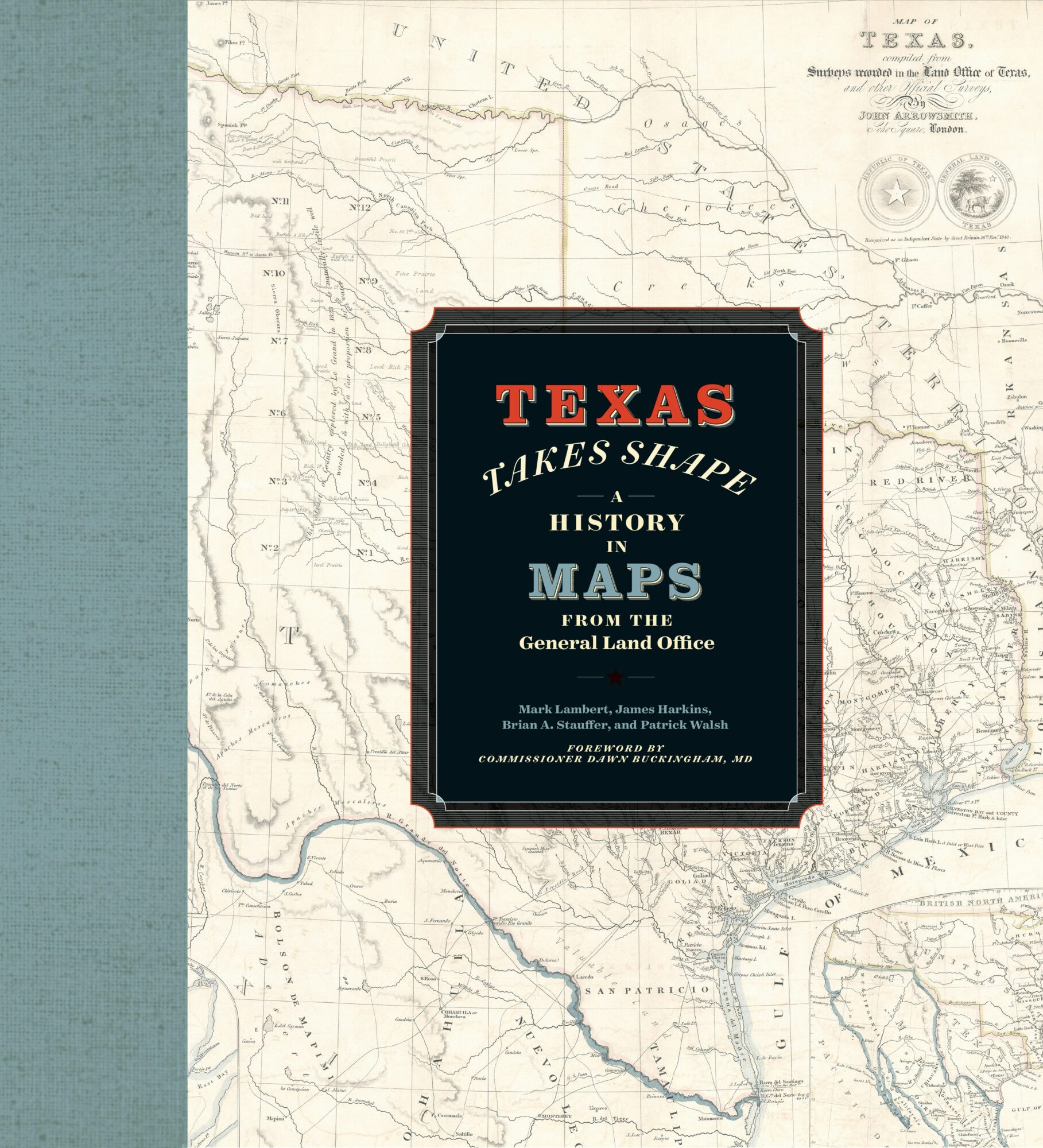
Cartography has played a key role in the various historical struggles that have shaped Texas’ boundaries, identity, and destiny. Join the authors of Texas Takes Shape to learn about the maps that have changed the course of history through the lens of the General Land Office Archives. Composed of over 45,000 items, the GLO’s map collection encompasses maps at every scale, from individual land grant surveys to continent-spanning imperial claims.
Presenters:
 James Harkins, Deputy Director of Archives and Records
James Harkins graduated from Texas State University-San Marcos in 2005. In 2010, he received a Master’s Degree in Public Administration, also from Texas State. He is active with the Texas State Historical Association and the Texas Map Society.
 Brian A. Stauffer, Director of Public Services for Archives and Records
Brian A. Stauffer holds a PhD in Latin American History from the University of Texas at Austin. He is the author of Victory on Earth or in Heaven: Mexico’s Religionero Rebellion (University of New Mexico Press, 2019).
 Patrick Walsh, Research and Outreach Specialist
Patrick Walsh graduated from the University of Chicago in 2006 with a degree in Political Science. He has contributed to numerous public exhibitions of the GLO’s archival materials.